

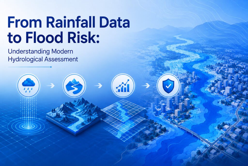

Flooding is one of the most common water-related hazards affecting communities, agriculture, infrastructure, and urban development. Heavy rainfall does not automatically result in flooding. The severity of a flood depends on several factors, including rainfall intensity, drainage capacity, soil conditions, terrain, land use, river characteristics, and surface runoff.
Modern hydrological assessment brings these factors together to understand how water behaves across a particular area. By studying rainfall patterns and their relationship with runoff, specialists can identify potential flood-prone locations and support better planning decisions.
Understanding the Role of Rainfall Data
Rainfall data is one of the most important inputs in flood-related studies. Historical rainfall records can provide information about the frequency, intensity, duration, and seasonal distribution of precipitation.
A single rainfall event may produce different results in different locations. An area with permeable soil and sufficient drainage may absorb a significant amount of water, while an urbanized area with large paved surfaces may generate substantial surface runoff.
Rainfall records are therefore analyzed alongside geographical and environmental information rather than being considered independently. This helps provide a more realistic understanding of how precipitation can influence water movement.
What Is a Hydrological Study?
A Hydrological Study examines the movement, distribution, and availability of water within a specific area. It can involve surface water, groundwater, rainfall, runoff, drainage systems, and watershed characteristics.
The study may begin with the collection of rainfall and topographic data. This information can then be used to understand catchment boundaries, drainage patterns, runoff behavior, and areas where water may accumulate.
Depending on the objective, a hydrological study can support flood assessment, drainage planning, watershed management, infrastructure development, irrigation planning, and water resource management.
From Rainfall to Surface Runoff
Rainfall becomes surface runoff when water cannot infiltrate into the ground quickly enough. The amount of runoff depends on several conditions.
Soil and Infiltration
Soil type influences how quickly water enters the ground. Sandy and permeable soils may allow greater infiltration, while compacted or clay-rich soils can reduce infiltration and increase surface runoff.
Land Use and Surface Conditions
Land development can significantly change natural drainage. Roads, buildings, parking areas, and other impervious surfaces prevent water from infiltrating easily. As a result, more rainfall can move across the surface and reach drainage channels or low-lying areas.
Slope and Terrain
Topography determines the direction in which water naturally flows. Steeper slopes can accelerate runoff, while depressions and low-lying areas may collect water.
Combining these factors with rainfall information creates a more complete picture of potential runoff behavior.
What Is Hydrological Assessment?
Hydrological Assessment involves evaluating water-related conditions and processes within a defined area. It can help determine how rainfall interacts with terrain, soil, drainage networks, rivers, and other environmental features.
Modern assessment methods may use geographic information systems, remote sensing, digital elevation models, rainfall records, and hydrological modeling. These tools allow large areas to be analyzed systematically.
A detailed assessment can help identify drainage bottlenecks, runoff pathways, catchment characteristics, and areas that may be vulnerable to flooding under particular rainfall conditions.
Importance of Hydrological Survey and Analysis
Hydrological survey and analysis provides field-based and analytical information about water systems. Field observations may include drainage characteristics, river conditions, water levels, catchment features, and other relevant environmental factors.
The collected information can then be combined with spatial and historical datasets to develop a clearer understanding of water movement.
This approach is particularly useful for projects where changes in land use or infrastructure may affect natural drainage. Understanding existing hydrological conditions before development can help planners consider potential water-related impacts.
The Role of River Hydrological Survey
Rivers are dynamic systems that respond to rainfall, upstream inflows, terrain, sediment conditions, and seasonal variations. A River Hydrological Survey examines characteristics that influence the movement and behavior of water within a river system.
Depending on the study objective, river surveys may consider water levels, discharge, channel characteristics, flow patterns, and surrounding drainage conditions.
Such information can contribute to floodplain studies, river management, bridge and infrastructure planning, watershed assessment, and flood risk analysis.
Using GIS and Spatial Data for Flood Assessment
Geographic information systems have become important tools in modern hydrological work. GIS allows different layers of information to be combined and analyzed spatially.
Rainfall records can be examined alongside elevation, slope, drainage networks, land use, soil characteristics, and river systems. This makes it possible to visualize how different environmental factors interact.
Flood inundation mapping is one example of this approach. Spatial analysis can help represent areas that may experience water accumulation or inundation under defined rainfall and flow conditions.
Digital Elevation Models
Digital elevation models provide information about ground elevation. They can be used to identify slopes, depressions, drainage pathways, and watershed boundaries.
When combined with rainfall and runoff information, elevation data can support a better understanding of where water is likely to move or accumulate.
Hydrological Survey Services in India
The diverse geography and rainfall patterns across the country make water assessment important for many types of development and environmental planning. Hydrological Survey Services in India may be used for urban areas, agricultural regions, infrastructure projects, industrial development, watershed management, and flood-related studies.
Different regions can have very different hydrological characteristics. A rainfall pattern that creates limited runoff in one location may produce significant flooding elsewhere because of differences in terrain, soil, drainage capacity, river networks, and land use.
For this reason, hydrological assessment needs to consider local conditions rather than relying only on generalized rainfall information.
Supporting Flood Risk Management
Hydrological analysis does not eliminate flood risk, but it can provide information needed to understand and manage that risk. By examining rainfall, runoff, drainage, terrain, and river behavior together, planners can identify potential problem areas before they become major issues.
The findings can support decisions related to drainage improvements, land-use planning, flood mitigation, infrastructure design, emergency preparedness, and watershed management.
The quality of the assessment depends on the reliability of the underlying data and the suitability of the methods used. Historical information, field observations, spatial datasets, and appropriate modeling techniques all contribute to a stronger analysis.
Conclusion
Understanding flood risk begins with understanding how water moves through the landscape. Rainfall data provides an essential starting point, but it becomes more meaningful when combined with information about soil, terrain, land use, drainage, watersheds, and rivers.
Modern Hydrological Assessment uses these different sources to develop a clearer picture of runoff and water movement. Through hydrological survey and analysis, spatial analysis, field surveys, and modeling, planners can better understand potential flood conditions and make informed decisions about water management and development.
Frequently Asked Questions
What is a Hydrological Study used for?
A Hydrological Study is used to understand water movement and behavior within a specific area. It can support flood assessment, drainage planning, watershed management, infrastructure development, and water resource planning.
How does rainfall data help in flood risk assessment?
Rainfall data provides information about precipitation intensity, duration, frequency, and seasonal patterns. When combined with terrain, soil, drainage, and land-use information, it can help estimate potential runoff and identify areas that may be vulnerable to flooding.
What does Hydrological Survey and Analysis include?
It can include field observations, rainfall analysis, drainage assessment, river studies, watershed analysis, topographic evaluation, and spatial data analysis. The exact components depend on the purpose and location of the study.
Why is a River Hydrological Survey important?
A River Hydrological Survey helps examine river flow characteristics, water levels, discharge, channel conditions, and surrounding drainage behavior. The information can support flood studies, infrastructure planning, river management, and watershed assessment.
Why are Hydrological Survey Services in India important?
Different regions have different rainfall patterns, terrain, soil conditions, river systems, and drainage characteristics. Hydrological Survey Services in India help evaluate these local conditions for projects involving flood management, infrastructure, water resources, and environmental planning.